Highway Weather Forecasts for Interstate Travel
Published by OnRoadWeather · Skinner Enterprises LLC
A highway weather forecast is most useful when it matches the section of road you will drive and the time you expect to reach it. An interstate can cross several states, elevations and forecast areas. Weather near the beginning of that road cannot describe the whole journey.
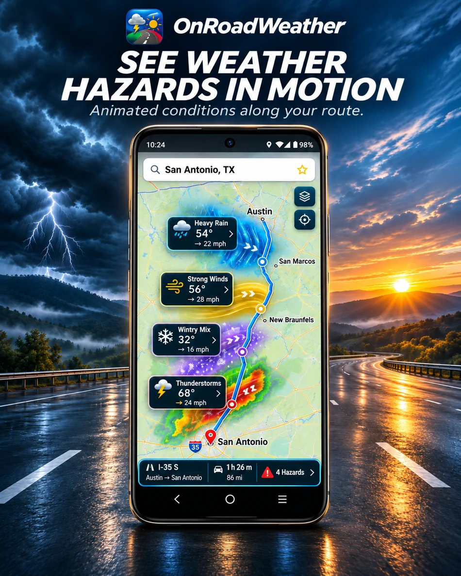
OnRoadWeather is an Android route weather app that organizes forecast information around your planned drive. Use its expected arrival times, route map and available road reports to prepare for the next stretch. This guide explains the planning process; it does not display live interstate conditions.
Get OnRoadWeather on Google Play
Follow your actual highway route
Start with the origin, destination and route you intend to use. Check the intermediate sections, including any change from one interstate to another. A general search for an interstate’s weather can describe hundreds of miles beyond your trip or conditions occurring before you arrive.
Review forecasts in travel order. Notice where a route crosses exposed terrain, changes elevation or passes through a different forecast area. If an alternative is available, compare its weather and expected arrival times as a separate trip. A longer route can change both where and when you meet the weather.
Match interstate weather to your arrival time
- Set the expected departure. Use your actual travel date and a realistic starting time.
- Read the time at each checkpoint. A place four hours away needs a forecast for your arrival, not simply the conditions there when you open the app.
- Review breaks and overnight plans. Stops and a later restart shift the forecast periods relevant to the remaining drive.
- Check time-zone labels. When crossing time zones, compare the local times shown for the places you are reviewing. Keep elapsed driving time separate from the clock time at your destination.
- Recheck after a change. If you leave late, encounter a delay or choose another route, review the remaining forecasts while safely stopped.
See the driving weather forecast walkthrough for the app workflow, or the road trip weather planner guide for an illustrative departure comparison.
Read more than the temperature
Rain: Review the forecast timing of precipitation at upcoming checkpoints. Radar adds context about recent precipitation nearby, but a current radar view does not establish the weather you will encounter much later.
Snow and freezing conditions: Look at precipitation, temperature and relevant official winter-weather information together. Air temperature or a snow symbol alone does not tell you whether pavement is treated, slippery, blocked or clear.
Wind: Consider gusts and direction where available, as well as exposed parts of the route. A high-profile vehicle can require different decisions from a passenger car. Check official vehicle restrictions instead of treating a forecast value as clearance to proceed.
Visibility: Review available fog or snow-related forecast information and warnings. Missing visibility data is an information gap, not evidence of clear conditions.
For any warning affecting your route, read the location, timing and instructions in the official notice. A small icon cannot convey all of those details.
Separate forecasts from reported road conditions
Weather forecasts describe expected conditions. Reported closures, incidents and restrictions describe information supplied about the road. They answer different questions. A clear forecast does not cancel a closure, and a forecast for snow does not by itself prove that an interstate is closed.
Camera snapshots can help you examine a particular location. Check the image’s capture time and location where provided. An old image, a blocked view or a camera several miles away cannot confirm the condition of your next stretch. Coverage and refresh rates vary. Read more about road reports, warnings and camera freshness.
Use official highway and weather sources
- FHWA: National Traffic and Road Closure Information links to state traveler-information resources. Use the relevant road agency for reported closures, restrictions and local travel information.
- National Weather Service forecasts and alerts provide official U.S. weather information. Check the forecast areas and warnings along the route, as well as your destination.
- National Weather Service winter travel preparation includes vehicle preparation and checking road information before a winter journey.
Highway weather questions
Can I check a highway forecast across several states?
Plan your origin-to-destination trip and review the checkpoints along it. OnRoadWeather organizes the available forecasts by the route and expected arrival times. Check the relevant state road reports separately when closures or restrictions could affect the trip.
Can the app guarantee the best route through a storm?
No. Forecasts can change, reports can be incomplete, and available alternatives may have their own restrictions. Use the information to compare plans and follow official instructions. OnRoadWeather does not guarantee safe travel or provide certified commercial-truck navigation.